What diverse data inputs can a crisis mapping tool aggregate to display on an interface?
Answer
SMS, email, social media, and direct web submissions
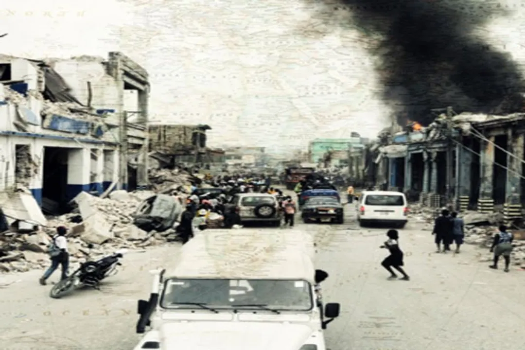
The effectiveness of these tools relies on the ability to ingest data from various, often low-bandwidth, sources. By aggregating reports from SMS, email, social media platforms, and direct web submissions, the system creates a comprehensive view of the situation. This multi-channel approach ensures that even users with limited digital access or poor connectivity can contribute, creating a broader, more accurate spatial context for responders.
#Videos
Patrick Meier: Crisis Mapping | Nat Geo Live - YouTube
Related Questions
What specific historical event in 2008 served as the catalyst for the development of the Ushahidi platform?What does the Swahili word Ushahidi signify in the context of the crisis mapping platform?Which group of technologists was instrumental in the creation of the Ushahidi platform?What is the primary functional core of a crisis mapping tool during a disruption?How is Patrick Meier primarily associated with the field of crisis mapping?Why was the decision to keep the Ushahidi platform as open-source infrastructure significant for its adoption?How did Guatemalan teams utilize the Ushahidi code base during Tropical Storm Agatha?What problem did rapid assessment protocols aim to address in the context of crisis mapping?What diverse data inputs can a crisis mapping tool aggregate to display on an interface?What advancement allowed crisis mapping tools to evolve from simple reporting mechanisms into analytical hubs?